Jezreel Valley
jezreel, israel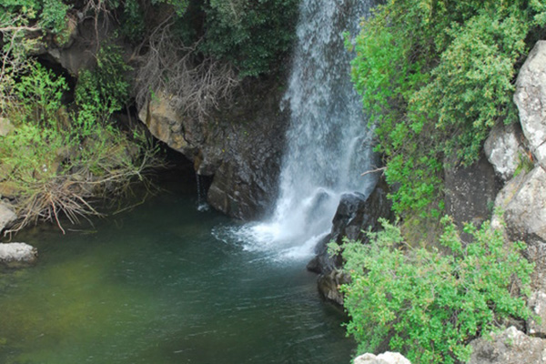

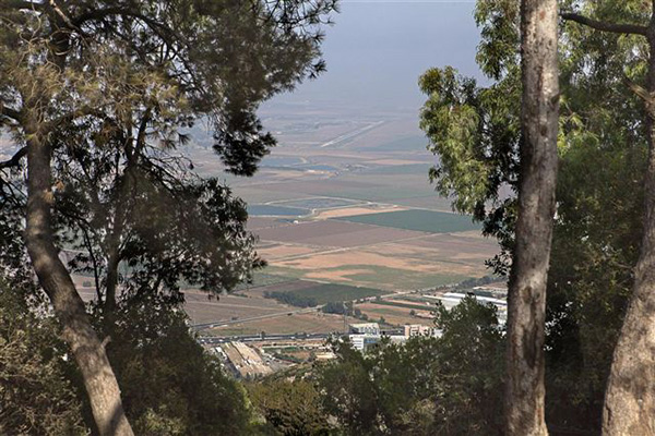
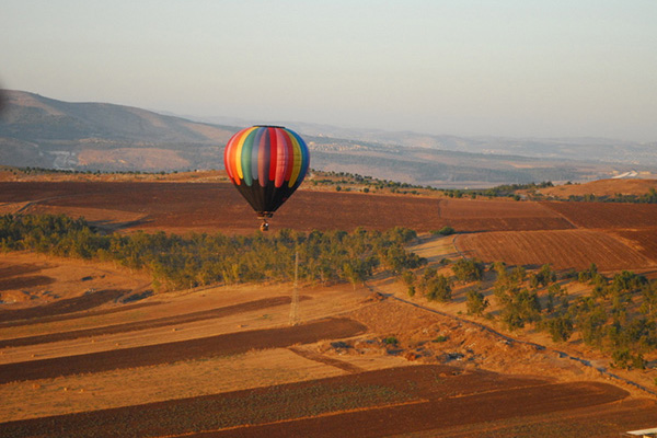
The central Jezreel Valley, roughly 380 square kilometers in size, is bounded on the north by the Nasareth mountains and Mount Tabor, on the east and south by Mount Gilboa and the mountains of Samaria respectively, and on the west by Mount Carmel– all of which are Scriptural stars.
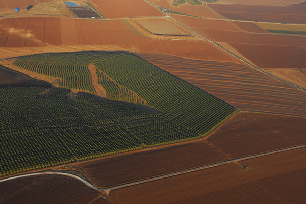
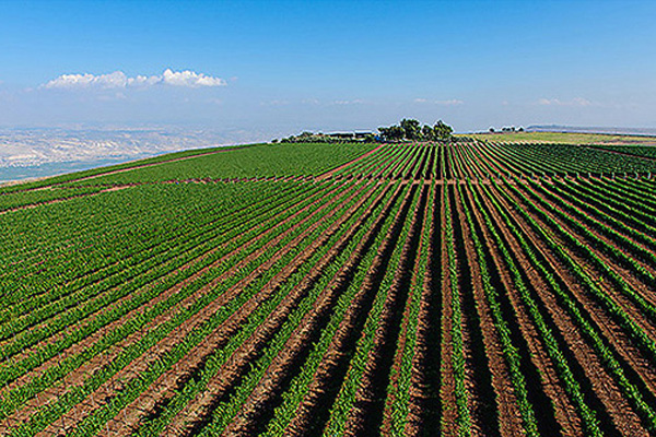
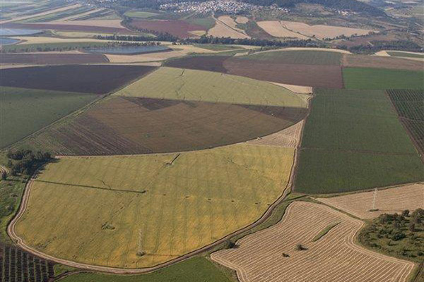
Jezreel means “God will sow” – a hint at its fertility, although by modern times neglect had turned most of it into swamps. But beginning in 1911, pioneers drained the swamps, making the valley bloom again.
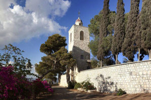
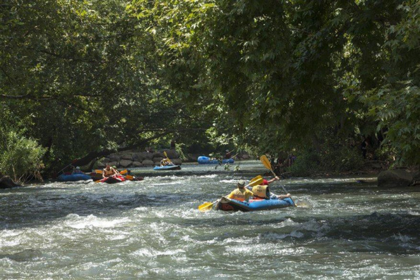
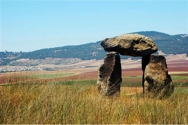
Today it is Israel’s breadbasket, sprouting wheat, cotton, sunflowers and even fish ponds. Among its many attractions are historical and biblical treasures such as Tel Megiddo (Armageddon) national park, the mosaics at Beit Alfa and Tzippori national parks, the cultural mosaic represented by the Circassian village and museum in Kafr Kama and the pioneering and historical museums at Kfar Tabor and Kibbutz Ein Dor, family fun and hands-on learning at places like the silk and honey farm at Moshav Shadmot Dvora.